
News Summary
St. Petersburg, Florida, has unveiled the ‘Prepare, St. Pete’ interactive flood map to enhance public safety by informing residents about flood risks. This tool provides tailored flood zone information and crucial evacuation routes, essential for preparedness as climate-related events increase. Accessible via the city’s website, it aims to empower the community against flooding threats while fostering resilience through increased awareness. The map symbolizes St. Petersburg’s commitment to public education and proactive measures in facing environmental challenges.
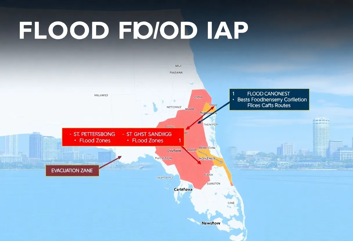
St. Petersburg, Florida, has introduced the ‘Prepare, St. Pete’ interactive flood map, aimed at enhancing public safety by informing residents about local flood risks. This user-friendly digital tool is designed to provide individuals with specific information regarding flood zones and floodplain data related to their unique addresses.
The initiative comes at a critical time, as natural disasters become more frequent, emphasizing the necessity for proactive infrastructure and preparedness measures. With the number of climate-related events on the rise, this interactive map serves as an essential resource for residents, guiding them through possible flood scenarios and appropriate responses to various situations.
Accessible through the city’s official website, the interactive platform allows users to gain insights into their areas’ flood risks. Unlike traditional static maps, the tool offers comprehensive details including evacuation routes and essential information tailored to local geography. By facilitating a better understanding of environmental hazards, the map aims to assist in safeguarding both lives and properties in the region.
The launch of the ‘Prepare, St. Pete’ interactive map coincides with increasing concerns regarding climate change and its impact on weather patterns. In an environment known for its variable weather, local authorities stress the importance of flood risk awareness, which can significantly enhance the preparedness and response capabilities of the community during natural disasters.
Residents are encouraged to utilize the map not only to learn about flood risks but also to engage in community resilience efforts. By thoroughly exploring the tool, individuals can better equip themselves with essential information and enhance their preparedness in facing environmental challenges. The city’s outreach through social media has ensured efficient dissemination of this information, inviting all residents to take advantage of this vital resource.
This interactive map complements existing emergency services by providing actionable insights rather than replacing them. Knowledge of flood risks, as emphasized by local authorities, is a critical factor in determining how effectively the community can respond to emergencies that may arise due to severe weather events. The ‘Prepare, St. Pete’ initiative symbolizes a broader commitment by the city to empower its residents against the threats posed by flooding and other environmental challenges.
As St. Petersburg continues to navigate the complexities of climate change, the introduction of the ‘Prepare, St. Pete’ interactive map marks a significant step in fostering public awareness and community engagement. By prioritizing flood risk education and proactive measures, the city aims to build a more resilient and prepared community capable of facing future challenges head-on.
Deeper Dive: News & Info About This Topic
HERE Resources
Florida Homeowners Face 31% Insurance Rate Hike
Catastrophic Flooding in Texas: Recovery Efforts Underway
MidFlorida Credit Union Expands in Florida Panhandle
Flash Flooding in West Virginia Claims Six Lives
Heavy Rain Causes Flooding in St. Petersburg, Residents Call for Improved Storm Drain Maintenance
Governor DeSantis to Discuss Hurricane Preparedness in Tampa Bay
Florida’s Gulf Coast Rallies for Recovery Post-Hurricanes
St. Petersburg Prepares for Hurricane Season with Assistance for Residents
St. Petersburg Initiates Robust Hurricane Recovery Plan
Floridians Take Proactive Measures Against Flooding Risks
Additional Resources
- Hoodline: St. Petersburg Unveils Interactive Flood Map
- Wikipedia: Flood
- WCPO: Interactive Map for River Flooding
- Google Search: Flood Preparedness
- St. Pete Catalyst: Crowdsourcing Flood Data
- Google Scholar: Flood Risk Management
- Insurance Journal: Flood Insurance Insights
- Encyclopedia Britannica: Flood Risk
- Palm Beach Post: Hurricane Milton’s Aftermath
- Google News: Flood Maps

Author: STAFF HERE PETERSBURG WRITER
The ST PETERSBURG STAFF WRITER represents the experienced team at HEREStPetersburg.com, your go-to source for actionable local news and information in St Petersburg, Pinellas County, and beyond. Specializing in "news you can use," we cover essential topics like product reviews for personal and business needs, local business directories, politics, real estate trends, neighborhood insights, and state news affecting the area—with deep expertise drawn from years of dedicated reporting and strong community input, including local press releases and business updates. We deliver top reporting on high-value events such as Grand Prix of St. Petersburg, Localtopia, and SHINE Mural Festival. Our coverage extends to key organizations like the St. Petersburg Area Chamber of Commerce and St. Pete Downtown Partnership, plus leading businesses in finance, manufacturing, and healthcare that power the local economy such as Raymond James Financial, Jabil, and Bayfront Health St. Petersburg. As part of the broader HERE network, including HEREJacksonville.com, HEREOrlando.com, HERETallahassee.com, and HERETampa.com, we provide comprehensive, credible insights into Florida's dynamic landscape.