
News Summary
Central Florida is bracing for a severe weather system this Mother’s Day weekend, with heavy rain, gusty winds, and large hail expected. Orlando International Airport has issued a ground stop due to ongoing thunderstorms, and residents are warned to be vigilant. Afternoon storms are anticipated both Saturday and Sunday, prompting alerts for potential severe weather, including the risk of tornadoes on Monday. As temperatures dip and storms continue, families are encouraged to stay informed about weather conditions for their outdoor plans.
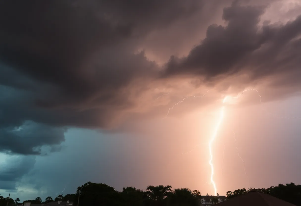
Florida is bracing for a severe weather system expected to impact Central Florida this Mother’s Day weekend, with the FOX 35 Storm Team declaring a series of Impact Days. Residents should prepare for heavy rain, lightning, gusty winds, and potential hail as thunderstorms sweep through the region.
Orlando International Airport (MCO) has already issued a ground stop, which is in effect until 7 p.m. today due to the ongoing thunderstorms. The area is under a marginal risk level of 1 out of 5 for severe weather, indicating that conditions are conducive for more intense storms.
Today’s thunderstorms have primarily been sparked by the sea breeze, a common phenomenon for the region. The main risks from these storms include gusty winds that could reach up to 50 mph and large hail, especially affecting the Marion and Alachua counties where a severe thunderstorm warning was issued at 4:55 p.m. These storms could also lead to heavy downpours, significantly reducing visibility on local roads.
As the evening approaches, temperatures are expected to dip into the upper 60s and lower 70s, creating a muggy atmosphere for residents. Looking ahead to Sunday, a similar weather pattern is forecasted, with widespread showers and storms likely developing in the afternoon. However, the morning hours are anticipated to be dry, allowing families to enjoy breakfast plans with their mothers.
Afternoon storms will likely form as sea breezes converge, and the entire region will remain under a marginal risk for severe weather. The anticipated threats for Sunday afternoon mirrors those of Saturday, with gusty winds reaching 50 mph and the possibility of large hail. Heavy rainfall may again limit road visibility, presenting potential hazards for drivers.
High temperatures on Mother’s Day are predicted to peak in the middle to upper 80s, with showers continuing into the evening hours. Following this stormy weather, a low-pressure system is expected to linger, potentially leading to rain on Monday, marking that day as the third Impact Day of the week.
On Monday, there are heightened concerns regarding severe weather, including risks of winds, hail, and even the possibility of brief tornadoes, which could affect commuters during both morning and evening rush hours. Residents are advised to remain vigilant as the storm system interacts with the region.
After this week’s storm system subsides on Tuesday, forecasts indicate a transition to calmer weather, featuring brighter skies and rising temperatures, expected to reach the 90s by the end of the week. This weather change should offer a welcome reprieve following a series of tumultuous storms.
The storm system’s impact has been noteworthy this week, with reports of quarter-sized hail in areas like Apopka. Furthermore, the Storm Prediction Center has warned of an increased risk for severe weather, rating certain parts of Central Florida with a 2 out of 5 risk level.
Residents are encouraged to stay informed about ongoing weather conditions, particularly if they have outdoor plans this weekend. Additional tracking resources, incorporating the FOX 35 Storm Tracker Radar and Live Weather Cameras, are available for those wishing to monitor the evolving weather situation.
Deeper Dive: News & Info About This Topic
- FOX 35 Orlando: Orlando Weather Severe Thunderstorm Threat
- Wikipedia: Thunderstorm
- WESH: Severe Weather and Storms Central Florida Forecast
- Google Search: Central Florida weather
- Click Orlando: Severe Storms Possible in Central Florida
- Google Scholar: Severe Weather Florida
- WESH: Rain and Storms Orlando Mother’s Day Weekend
- Encyclopedia Britannica: Weather
- WESH: Rain and Storms Orlando Mother’s Day
- Google News: Weather Alerts

Author: STAFF HERE PETERSBURG WRITER
The ST PETERSBURG STAFF WRITER represents the experienced team at HEREStPetersburg.com, your go-to source for actionable local news and information in St Petersburg, Pinellas County, and beyond. Specializing in "news you can use," we cover essential topics like product reviews for personal and business needs, local business directories, politics, real estate trends, neighborhood insights, and state news affecting the area—with deep expertise drawn from years of dedicated reporting and strong community input, including local press releases and business updates. We deliver top reporting on high-value events such as Grand Prix of St. Petersburg, Localtopia, and SHINE Mural Festival. Our coverage extends to key organizations like the St. Petersburg Area Chamber of Commerce and St. Pete Downtown Partnership, plus leading businesses in finance, manufacturing, and healthcare that power the local economy such as Raymond James Financial, Jabil, and Bayfront Health St. Petersburg. As part of the broader HERE network, including HEREJacksonville.com, HEREOrlando.com, HERETallahassee.com, and HERETampa.com, we provide comprehensive, credible insights into Florida's dynamic landscape.