News Summary
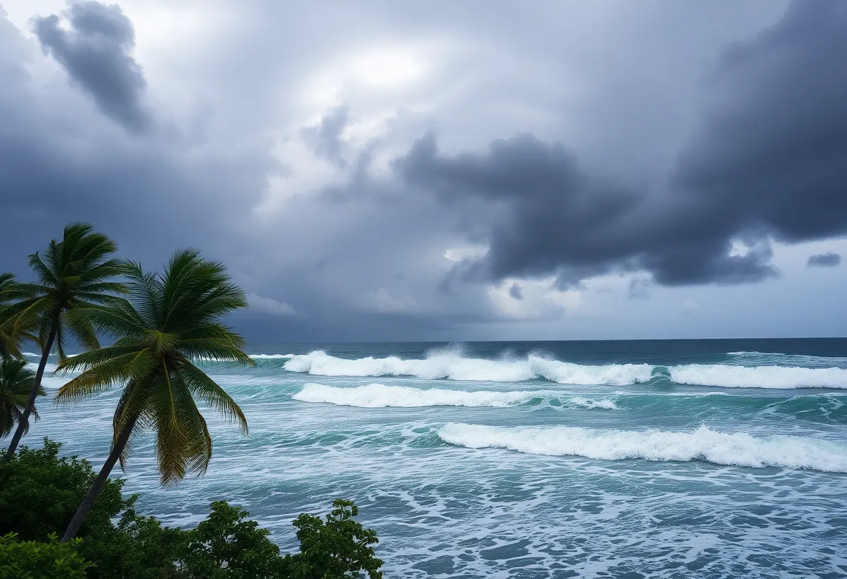
Hurricane Erin has intensified into a Category 4 storm, currently threatening the U.S. East Coast with 125 mph winds. Mandatory evacuations are underway in Hatteras and Ocracoke Islands as officials warn of life-threatening rip currents and coastal flooding. As conditions worsen, the storm’s increased size poses serious risks, with wind gusts between 40-60 mph and waves peaking at 15 feet. Nearby islands are also bracing for heavy rainfall, while local businesses suffer from visitor cancellations amid evacuation orders. Emergency services are responding to reports of rescues and hazardous conditions in the affected areas.
Hurricane Erin Picks Up Strength: Prepare for Impact Along U.S. East Coast
Here we go again! Hurricane Erin has gone through a bit of a roller-coaster ride this week, momentarily flexing its muscles to a Category 4 storm with howling winds of up to 130 mph. By the latest advisory, it has slightly toned down to a still-significant 125 mph. Currently, this swirling tempest is about 690 miles southwest of Bermuda and 780 miles south-southeast of Cape Hatteras. But don’t let those numbers fool you; it’s a big deal!
Warnings Galore!
Forecasters are raising the alarm about some truly life-threatening conditions expected along the East Coast. As Erin expands in size, residents and visitors are being particularly warned about the potential for dangerous rip currents and tumultuous surf conditions. Meteorologists are expecting the hurricane to slow down a bit as it heads northward between the U.S. and Bermuda, likely leading to some fluctuations in wind speeds over the coming days.
Evacuation Orders in Place
Things are getting serious in Hatteras Island and Ocracoke Island, where mandatory evacuation orders have been issued. People are urged to leave for their safety, as they face threats of storm surge, flooding, and tropical storm conditions. The Outer Banks of North Carolina stand at the forefront of the storm’s potential destruction, with predictions indicating significant coastal flooding could hit town by midweek.
Prepare for Wild Weather!
As the storm continues its march, the coastline could see wind gusts ranging from 40 to 60 mph, alongside waves soaring up to a staggering 10 to 15 feet from late Wednesday through Thursday. Now that’s some serious surf! It’s not just the U.S., either. Tropical storm alerts are ringing out for the Turks and Caicos Islands and parts of the Bahamas, with flash and urban flooding poised to create chaos there as well. Islands in the Southeast Bahamas are bracing for up to 8 inches of rain, following already significant rainfalls in Puerto Rico and the U.S. Virgin Islands.
Rescues and Safety Precautions
Meanwhile, emergency officials are running into action. In Wrightsville Beach, North Carolina, they reported rescuing at least 60 people who were caught in perilous rip currents and heavy surf. Authorities promptly issued a “no swimming” advisory, urging everyone to stay out of the water until conditions improve.
Stay Informed!
The National Hurricane Center isn’t letting up either. They’ve projected that waves could exceed a jaw-dropping 20 feet, causing flooding and significant damage along the North Carolina coastline. With Erin’s wind field measuring around 397 miles in diameter, it ranks as one of the larger hurricanes we’ve seen in recent decades, making it a force to be reckoned with!
Powers Out and Businesses Affected
In Puerto Rico, the winds have been so ferocious that over 150,000 residents lost power, though most services are back on. As the storm’s outer bands produce hurricane-force winds reaching as far as 50 miles from the center, nearby areas are under the microscope for potential hazards. The National Weather Service has issued coastal flood watches and high surf advisories, indicating that even areas far removed from Erin might face perilous conditions.
Tourism Takes a Hit
Local business owners in the Outer Banks are feeling the pinch as well. Due to the evacuation orders, many have reported a hefty number of visitor cancellations, directly impacting what should be the peak tourist season. It’s a tough break for the businesses trying to make the most of summer!
Keep Your Eyes Peered to the Horizon
As a reminder, the hurricane season runs from June 1 to November 30, with activity typically peaking between mid-August and mid-October. And if that weren’t enough, meteorologists are keeping a watchful eye on two additional tropical wave disturbances in the Atlantic—so hold onto your hats! Brace yourselves, because Hurricane Erin is a storm to take seriously, and preparation could be your best defense!
Deeper Dive: News & Info About This Topic
- USA Today: Hurricane Erin Updates
- Wikipedia: Hurricane Erin
- BBC News: Hurricane Erin Update
- Google Search: Hurricane Erin
- NBC News: Hurricane Erin Forecast
- Encyclopedia Britannica: Hurricane
- Reuters: Hurricane Erin Near Bahamas
- Google News: Hurricane Erin
- Fox Weather: Tracking Hurricane Erin
- CBS News: Hurricane Erin Path in South Florida


